

R&D&I
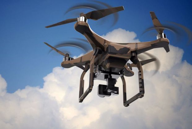
Use of drones
Title:
Practical Applications of the Use of Unmanned Aerial Vehicles for Control and Surveillance Work on Site: N-435. Beas and Trigueros municipalities variant. Huelva
Objective:
Obtaining detailed cartography on construction sites using Unmanned Aerial Vehicles with centimeter accuracy.
Description:
This Project has been developed by Ferrovial – Agroman with the active participation of URCI Consultores, S.L.
The project aims to use Unmanned Aerial Vehicles with a suitable accuracy that allow for the supervision of the executed works in real time while reducing the equipment of topographic control and reaching a higher performance in collecting information.
The possibility of minimizing the use of topography equipment requires achieving centimeter accuracy by means of RPAS (Remotely Piloted Aircraft System), which leads to the correct execution or control of the infrastructures to be developed.
The processing of the images obtained with the RPAS allows for the obtention of point clouds with X, Y, Z coordinates, from which high precision digital terrain models are generated, as well as a vectorial cartography plan, metric orthophotography and circular flight.
In addition, the availability of images during the various work phases allows for real-time monitoring, which offers valuable information for the subsequent infrastructure operation.
